What is Our Motivation?
In today's challenging environment, which is changing with an innovation every second,safe navigation has become mission critical for all types of aircrafts. The necessity of reliable and robust navigation systems is even more important for UAVs, as they do not have a pilot on board to navigate the aircraft. Even a simple GPS jammer system can jeopardize the mission success of UAVs, which are very valuable assets especially for operations responsible with national security. Therefore, as a responsible project group; we have been inspired to solve this problem
A Little Insight into the GPS and GPS Jammers
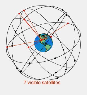 The Global Positioning System (GPS) is a satellite-based navigation system made up of at least 24 satellites which circle the Earth twice a day in precise orbits. Each satellite transmits a unique signal and orbital parameters that allow GPS devices to decode and compute the precise location of the corresponding satellite. GPS receivers use this information and trilateration to calculate an estimated location of the user. Essentially, the GPS receiver measures the distance to each satellite by the amount of time it takes to receive a transmitted signal. With distance measurements from a few more satellites, the receiver can determine the user's position.
A GPS jammer, on the other hand, is a relatively small device which transmits radio frequencies in specific bands to intentionally block, jam, or interfere with GPS systems. Although being illegal, they are easy to acquire and quite effective. Thus, they pose a serious threat to the operations which heavily depend on GPS: in other words, almost all kinds of practices which require navigation.
Steps Towards Our Solution
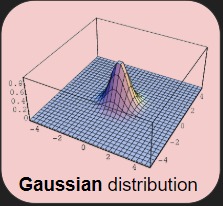 Data Simulation: In our project we used virtual data. First, we simulated flights that have the pattern of real mission. Later, we decided a jammer location around the flights coordinates and apply jammer signals from that jammer location to the flight paths. These jammer signals can be taught as rays spread from the jammer location and moves every direction. The power of rays decreases as they move. If any ray reaches a point of a flight path, that flight data is marked as jammed. Later , we have disrupted jammed flight data points using gaussian distribution. We have also disrupted all flight data points using uniform distribution. Finally , we get jammed flight data.
All this progress was made under the supervision of the engineers who has access the real data, and the project supervisor.
Data Simulation: In our project we used virtual data. First, we simulated flights that have the pattern of real mission. Later, we decided a jammer location around the flights coordinates and apply jammer signals from that jammer location to the flight paths. These jammer signals can be taught as rays spread from the jammer location and moves every direction. The power of rays decreases as they move. If any ray reaches a point of a flight path, that flight data is marked as jammed. Later , we have disrupted jammed flight data points using gaussian distribution. We have also disrupted all flight data points using uniform distribution. Finally , we get jammed flight data.
All this progress was made under the supervision of the engineers who has access the real data, and the project supervisor.
Anomaly Detection: Each data consist of 3 features. They are latitude , longitude and altitude respectively. The application works for the cases that the altitudes of each data are almost same. In this manner, we use altitude values of each data point and benefit from standard deviation to decide on a threshold range. Any point exceeds the threshold calculated as anomaly. The exceeding amount is used in jammer location calculations.
Jammer Location: At the beginning of the project Gaussian Mixture Models, K-means Clustering and Density Based Spatial Clustering Application with Noise are used to predict the location of the jammer according the jammered flight data. After implementing and testing these algorithm, it is decided that these algorithm is hardly enough to requirement of the project.Finally a hybrid approach is decided to use, Density Based Spatial Clustering Application with Noise (DBSCAN) is used for creating the heatmap for possible jammer location and our custom 4-point approach is used for predicting the location of the jammer. In 4-point approach, by looking the end points and start points of the jammered part of the flight, it is tried to detect the effective area of the jammer. After detecting the effective area of the jammer, prediction is done by the finding the center of the area.
What Exactly Jammer Detector does?
Jammer Detector collects GPS data from aircrafts, and interprets them by applying statistical methods. Gathered data are processed using machine learning algorithms in order to determine possible jammer locations. Finally, it renders these locations as a heat-map, thus providing a beforehand warning system for users.